UN
74 Church Road
£ 475,000
Description
We don't have a Description for this property.
- Bedrooms
- 3
- Bathrooms
- 0
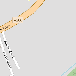


Leaflet © OpenStreetMap contributors
The heatmap indicates the level of crime in the area. The color of the heatmap indicates the crime severity and recency.
Metrics Year-on-Year
- Average area value
- 650,324.00 £Increased by 21.76 %
- Average area rental value
- 1,378.00 £/moDecreased by 10.58 %
- Est rental Yield
- 2.54 %Decreased by 26.59 %
- Crime Rate
- 7.00 %Unchanged by 0.00 %
from 534,083.00 £
from 1,541.00 £/mo
from 3.46 %
from 7.00 %
Nearby Schools
| Name | Type | Ofsted | Distance |
|---|---|---|---|
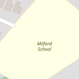
| Milford School | Foundation School | Good | 0.13 KM |
| Rodborough | Academy Converter | Good | 0.89 KM |
| The Chandler Cofe Aided Junior School | Voluntary Aided School | Good | 1.92 KM |
| St Mark And All Saints Church Of England Primary | Academy Sponsor Led | 2.00 KM | |
| Witley Cofe Controlled Infant School | Voluntary Controlled School | Good | 2.41 KM |
Images
Nearby Streets
| Name | Average Price | Average Sqft | Distance |
|---|---|---|---|
| Station Lane | £ 1,617,500 | 0 | 0.00 KM |
| George Road | £ 595,000 | 0 | 0.00 KM |
| Eashing Lane | £ 1,250,000 | 0 | 0.00 KM |
| Manor Fields | £ 446,667 | 0 | 0.00 KM |
| Heath View Road | £ 0 | 0 | 0.00 KM |
Nearby Transport
| Name | NLC | TLC | Distance |
|---|---|---|---|
| Milford (Surrey) | 5644 | MLF | 1.10 KM |
| Godalming | 5629 | GOD | 3.43 KM |
| Witley | 5640 | WTY | 4.05 KM |
| Farncombe | 5643 | FNC | 5.40 KM |
| Wanborough | 5639 | WAN | 8.72 KM |
Nearby Listings
| Address | Price | Type | Score | Distance |
|---|---|---|---|---|
| Church Road, Milford, Godalming, Surrey, GU8 | £ 500,000 | BUY | 7 / 10 | 0.05 KM |
| Church Road, Milford, Godalming, Surrey, GU8 | £ 425,000 | BUY | Unknown | 0.08 KM |
| Milford - ***No Onward Chain*** | £ 440,000 | BUY | 6 / 10 | 0.14 KM |
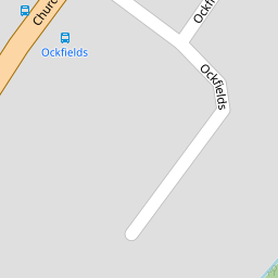
| Ockfields, Milford, Godalming, GU8 | £ 440,000 | BUY | 6 / 10 | 0.16 KM |
| Ockfields, Milford, Godalming, Surrey, GU8 | £ 565,000 | BUY | 6 / 10 | 0.20 KM |
Nearby Properties
| Address | Price | Distance |
|---|---|---|
| 62 Church Road | £ 377,500 | 0.00 KM |
| 84 Church Road | £ 176,500 | 0.00 KM |
| 60 Church Road | £ 295,000 | 0.00 KM |
| 58 Church Road | £ 610,000 | 0.00 KM |
| 70 Church Road | £ 289,801 | 0.00 KM |